
Dingle
The choice of activities on the Dingle Peninsula is vast and varied and the Rainbow Hostel is conveniently located in proximity to all of them.
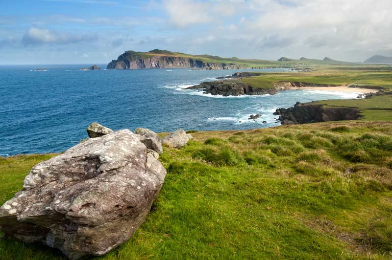
Despite the huge range of activities available, the majority of them share one thing in common—nature. The untouched natural beauty of the area provides fantastic opportunities for hill-walking, rock climbing or horse-riding. The scenery ranges from the dramatic beauty of coastal cliffs and beaches to rolling green fields and forest—a paradise for the amateur and experienced outdoor enthusiasts alike.
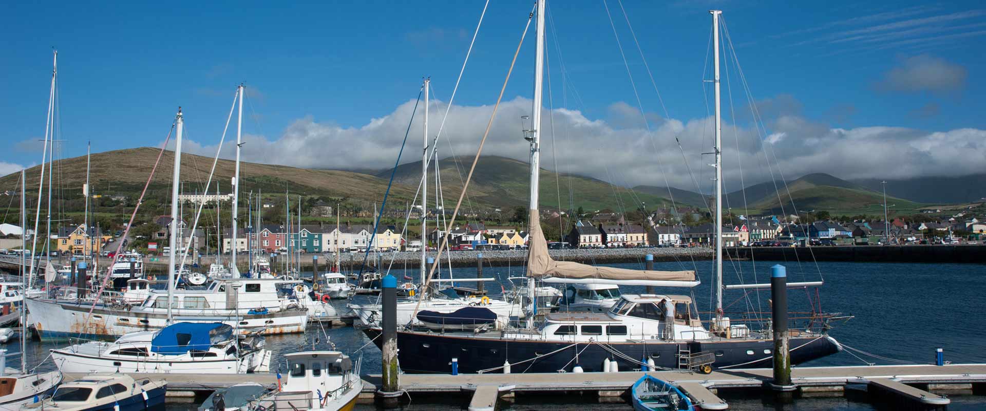
The clean Atlantic provides yet another setting for numerous activities. The pier in Dingle town is the jumping off point for many marine activities including dolphin and whale watching trips, scuba-diving, sailing, windsurfing, surfing and deep-sea fishing (including shark) to mention just a few.
Surfing
Surfing has also caught on in a big way, with many surfers realising the potential of the west coast of Ireland. On the Dingle Peninsula we are blessed with surf location on northern, southern and western shores so there is nearly always a wave that can be caught. The Dingle Surf shop is a great place for surf lessons, wetsuit hire and surfboard hire.
Dingle Town
One activity we can’t forget is the lure of the local pub. For a town of only 1,500 people there are over 50 pubs—it’s easy to see the importance placed on them… Local pubs are a place of social contact, where strangers meet and mingle. Dingle is a major town in terms of Irish traditional music, and with many of Ireland’s top musicians living in the area, it is no surprise that there are fantastic sessions nightly in the pubs.
Scuba Diving
Diving in the Dingle Peninsula is excellent, with very good visibility in the summer months and abundant marine life. For more information about diving in Dingle visit the Dingle Dive Centre web site.
Sailing
The sailing around the Dingle Peninsula is second to none, with deep waters right to the shore of sheer cliffs, reliable winds and dramatic scenery. There is also a marina facility for those with their own vessel, otherwise there is a sailing club which teaches and also charters yachts. For more information about sailing in Dingle, visit the Dingle Sailing Club web site.
Horse Riding
Pony-Trekking is available from Dingle Horse Riding, situated only 10 minutes walk from the hostel. For more details about hourly/daily rates: Telephone (066) 915 2199 or visit the Dingle Horse Riding web site.
Fungie the Dingle Dolphin
Fungie, a bottlenose dolphin, had been resident in Dingle Bay for over 25 years and is a firm favourite will young and old. You can take a boat trip out to see him, or just watch him from the shore. More information at www.dingledolphin.com
Archaeological Tours
Visit the many ancient sites spanning 6000 years around the Dingle Peninsula in the company of a local Archaeologist. Trips leave daily from the pier. Bookings advised.
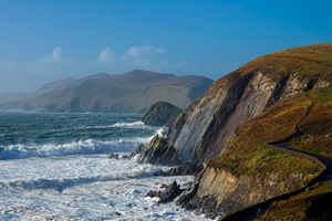
Hill And Shore Walking
There is a wealth of fantastic walking waiting for anyone with the will and the boots! The Scenery is extremely spectacular, with mountains dropping into ocean… and so seldom walked you feel like the one to have discovered it. We are on the popular Dingle Way.
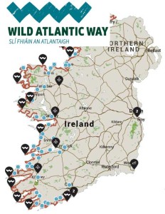 We are on the Wild Atlantic Way
Build your own tour of Munster with Discover Ireland Tours
The Dingle Way on the Dingle Peninsula
The Dingle Peninsula

The Dingle Peninsula
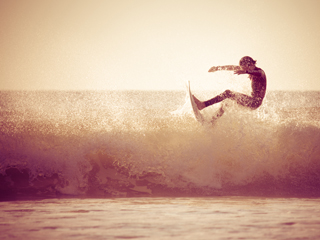
Surfing in Ireland
Dingle Town
Great Rates when booking your Dingle Hostel Accommodation Online
You can check availability or book online now
If you don’t find the dates you require then please contact us directly to see if we can help